Survey of flora at the Ponte della Libertà
Survey of flora at the Ponte della Libertà
In late autumn 2025, we conducted an exploratory survey of halophilic plants present in the construction site area of the new aqueduct between Punta San Giuliano and Tronchetto. The site is located near the Ponte della Libertà bridge, on the south side (Fig. 1). The excavation of sediments for the laying of two large sub-lagoon steel pipes (diameter 1000 mm) and the resulting earthworks led to the formation of two large sediment banks.
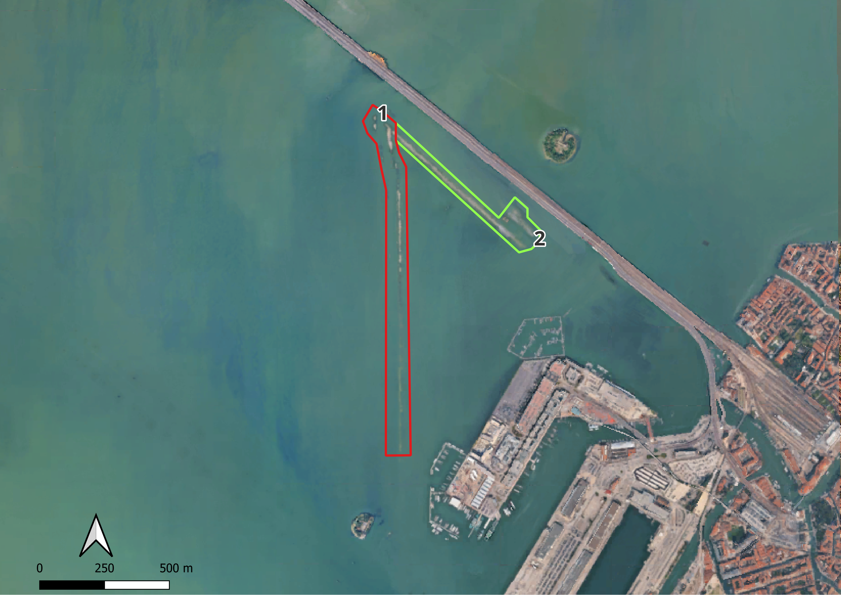
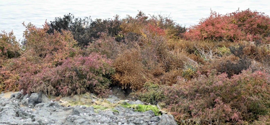
Curb 1 (highlighted in red in Fig. 1), approximately 1250 meters long, is the older of the two as it is generally more vegetated; the longer time available has allowed a greater number of plant individuals to colonize the sediment. The morphological profile is also gentler, as the action of the water has had more time to shape the deposits (Figs. 2-3).
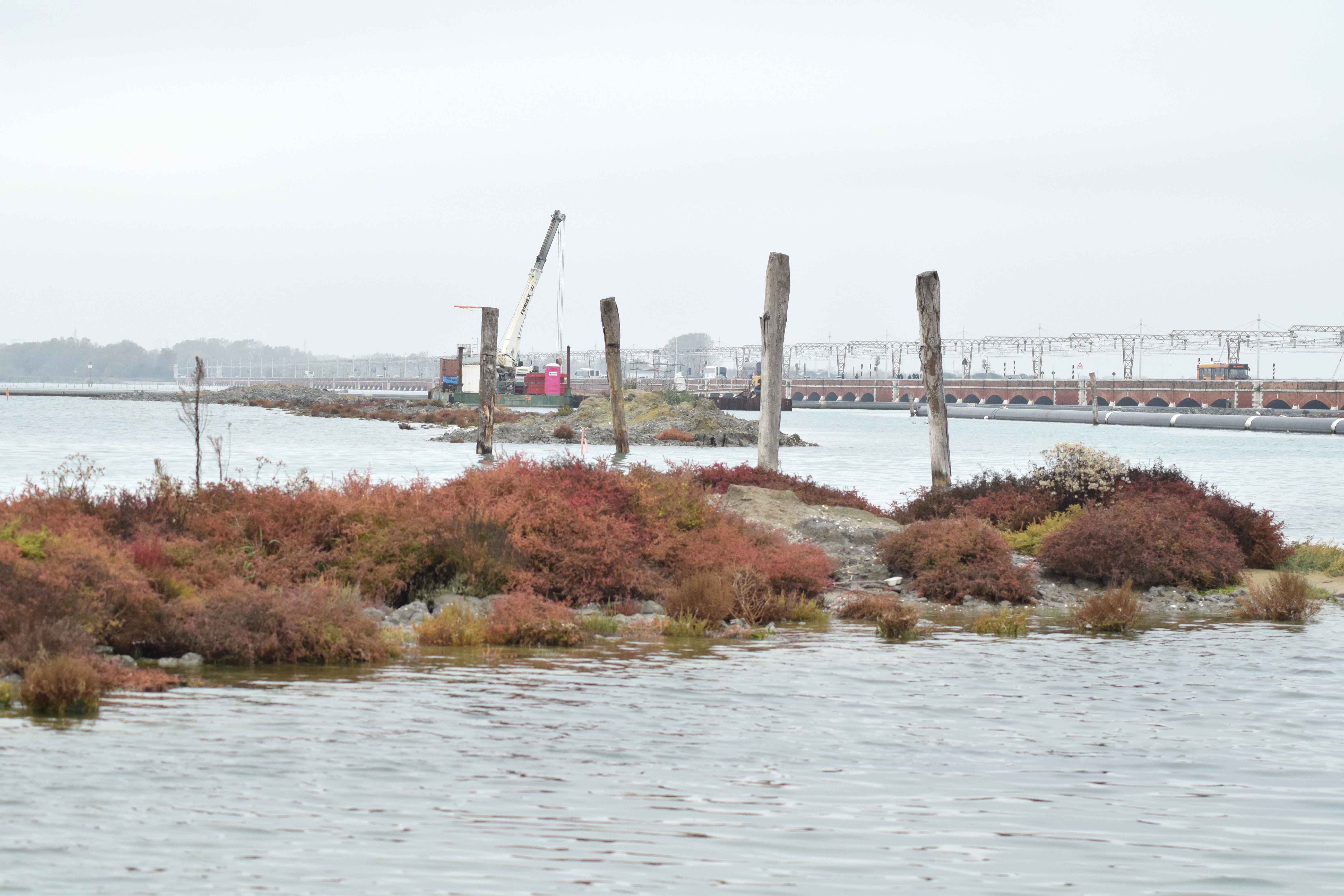
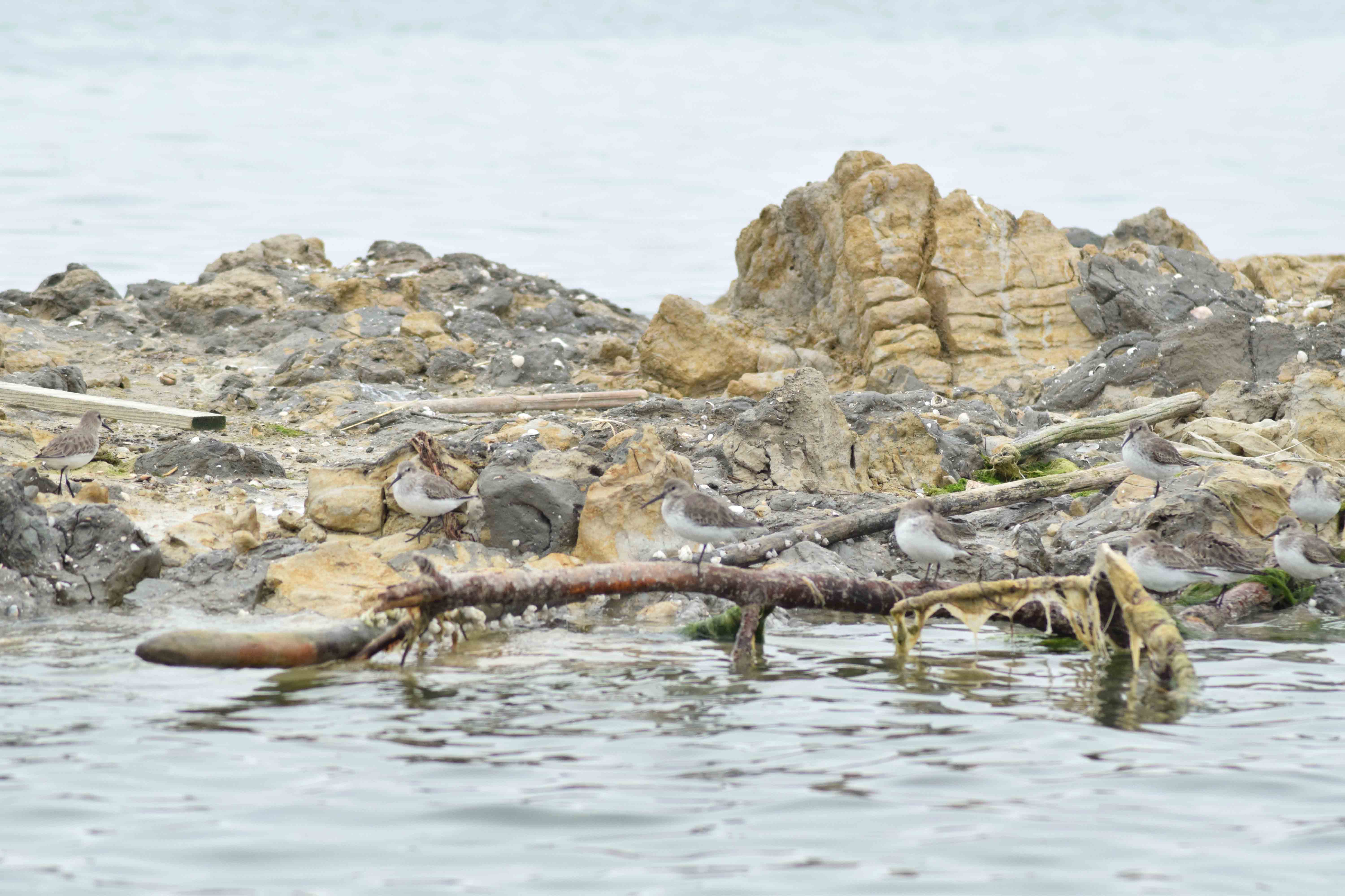
Curb 2 (highlighted in green in Fig. 1), approximately 750 meters long, is perhaps the most recent, as suggested by the sparse vegetation recolonization and the still rough and irregular profiles (Figs. 4-5).
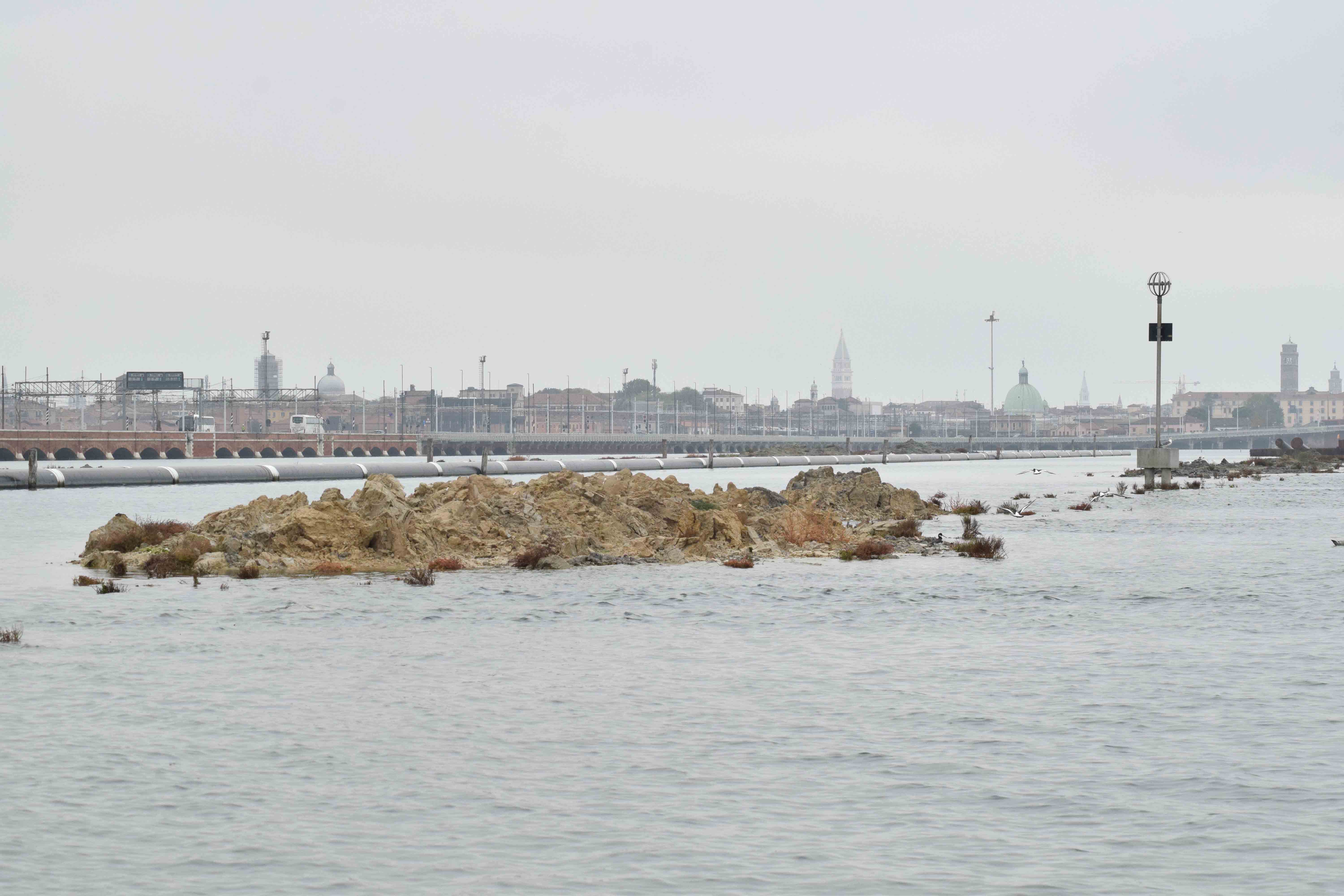
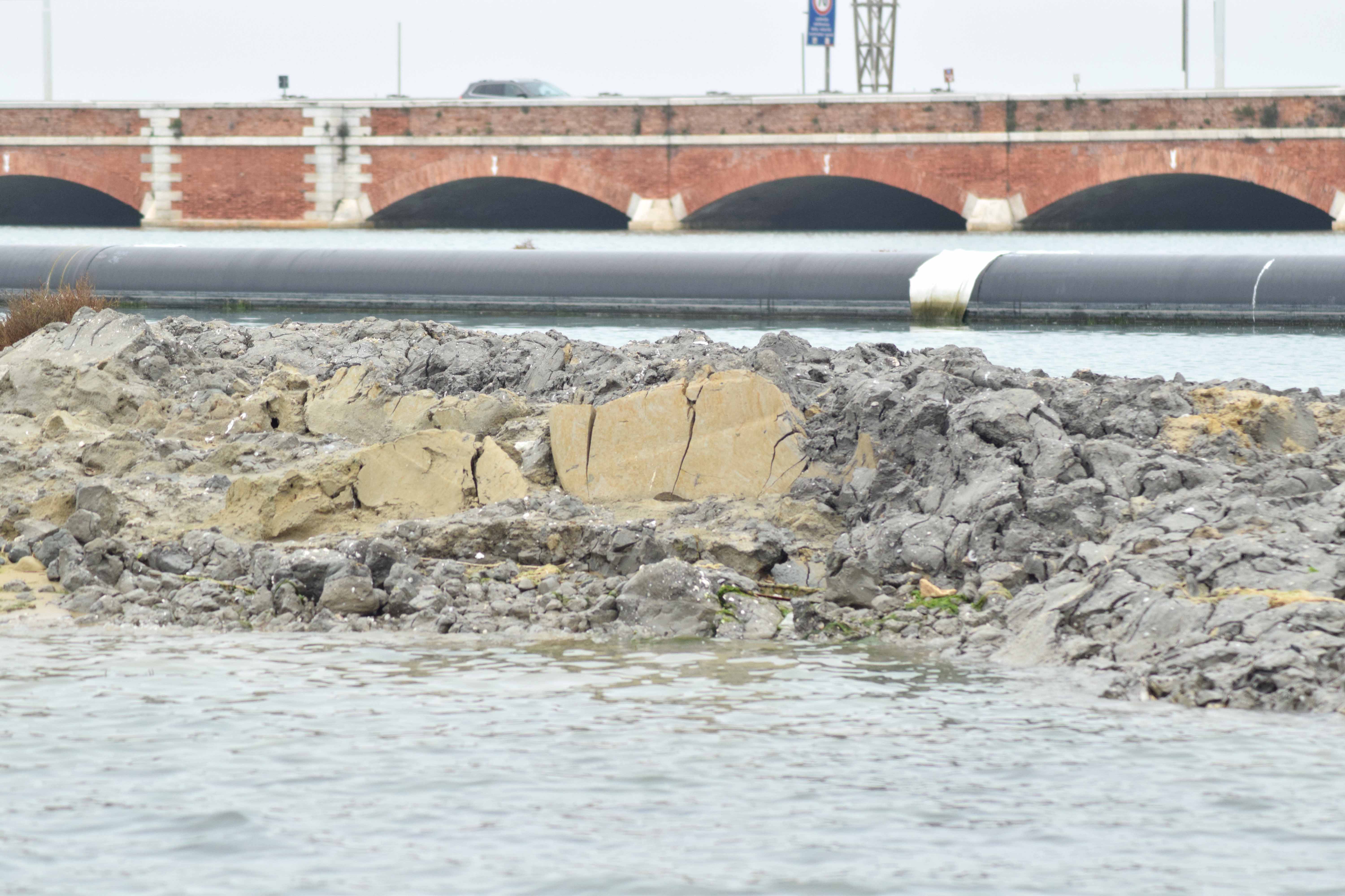
Although the season was not the best for species identification (some were already in the senescent phase, which justifies the preliminary and expeditious nature of the survey), even at high tide we were able to identify almost all the species present. Specifically, we encountered:
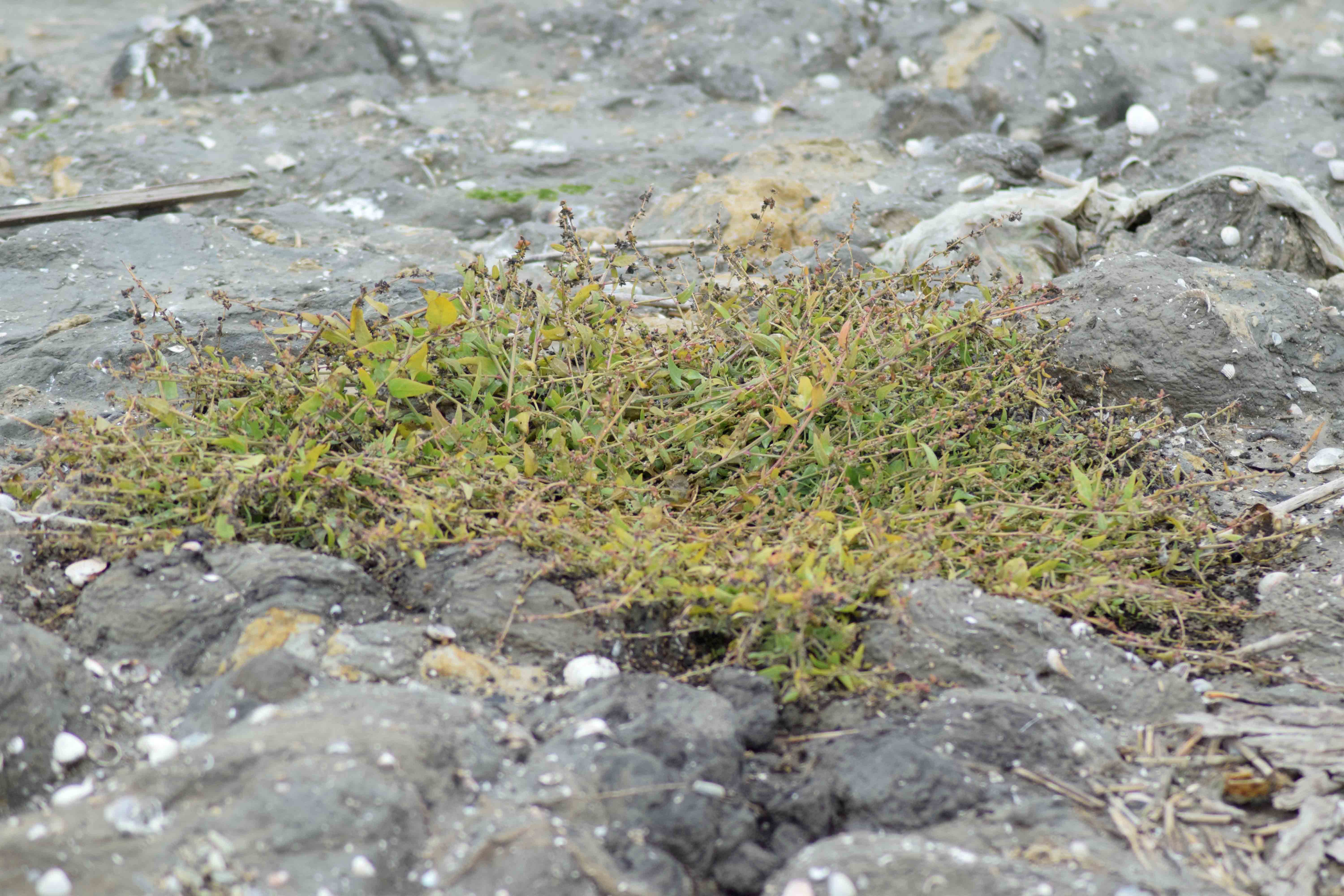
Atriplex prostrata (Fig. 8), Galatella tripolium (sea aster), Halimione portulacoides (sea purslane), Limonium narbonense, Phragmites australis (common reed), Puccinellia palustris (lagoon grass), Sarcocornia spp, Soda inermis (Salsola soda - monk's beard) (Fig. 6), Suaeda maritima (sea blite) (Fig. 7).
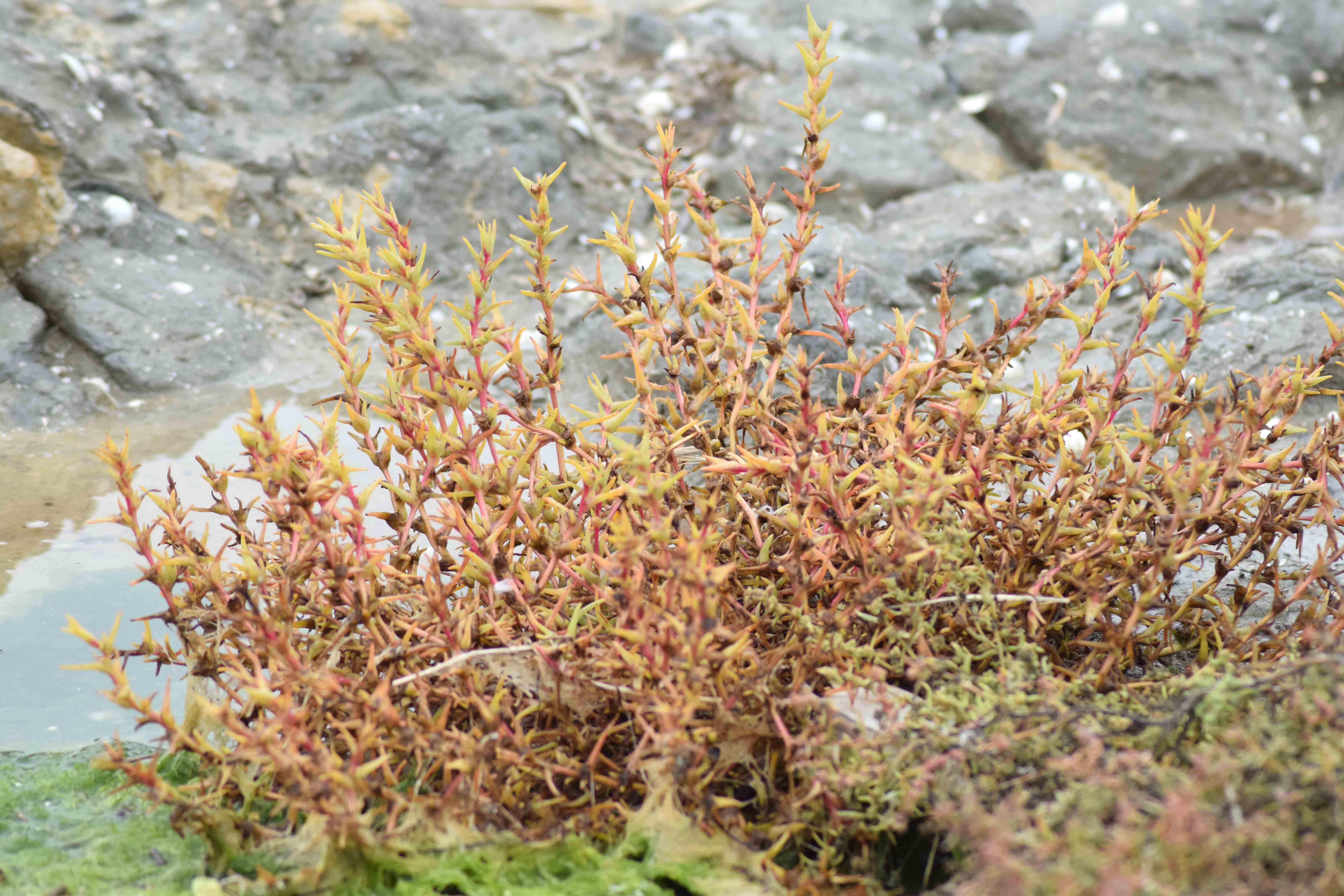
In terms of diversity, the species were equally present in both curbs. In terms of abundance, number 1 (Fig. 1) had higher values. In the emerged areas (82 cm tide), we found all species, but only in this sector were the following present: A. prostrata, S. maritima, G. tripolium, P. palustris, and herbaceous species. In the submerged areas, we found some species of Sarcocornia and green algae. In the interface areas, we found: S. inermis, H. portulacoides, L. narbonense, P. palustris, and species of Sarcocornia.
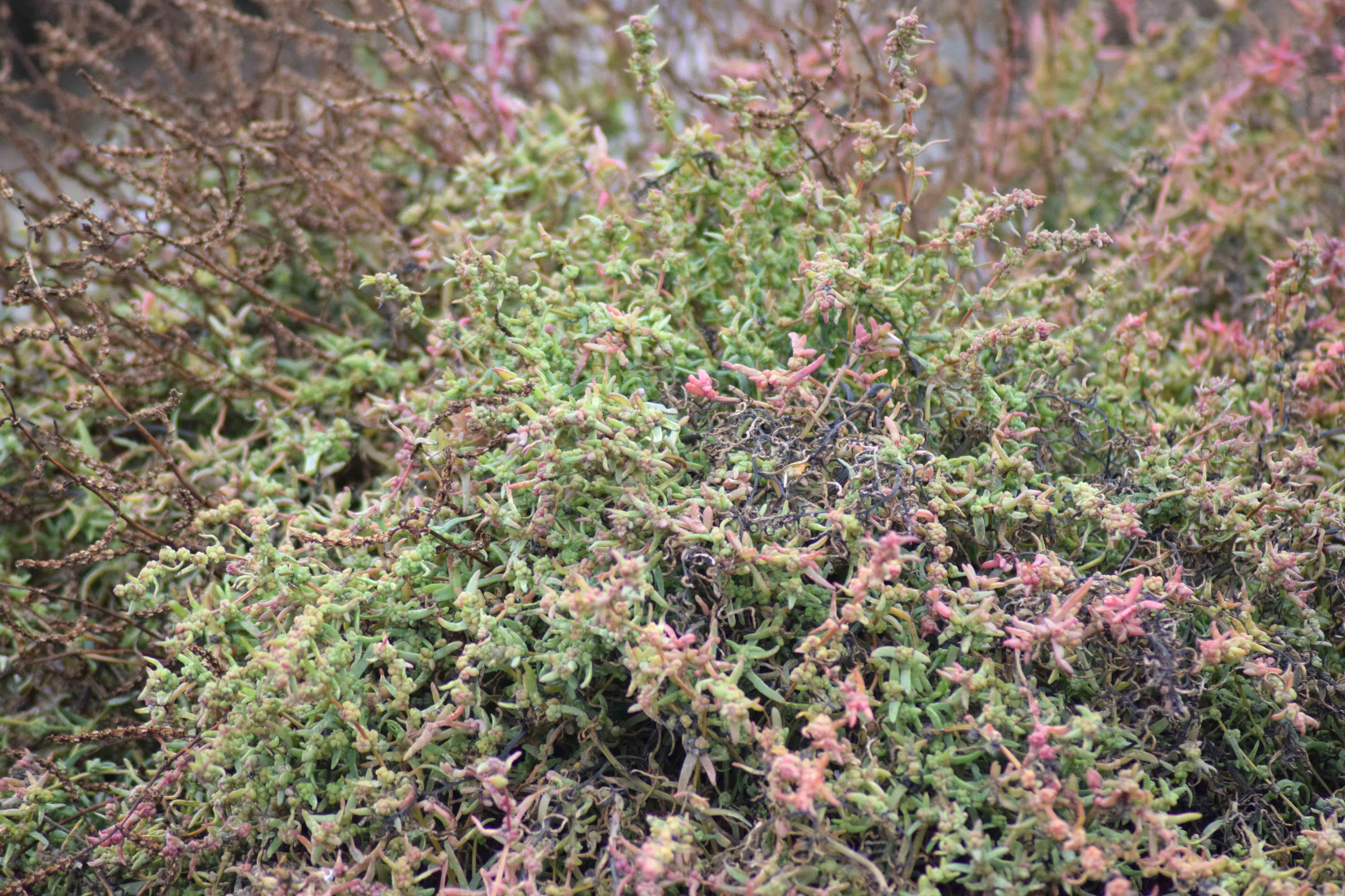
The observations made on the curbs are consistent with the general dynamics of colonization of coastal salt marshes. In these environments, the vegetation is composed of specialized and resilient species capable of thriving in highly dynamic environments. The natural recovery of these ecosystems is surprisingly rapid (Tozzi et al., 2022).
Key factors in colonization
The recolonization of salt marshes is not random, but regulated by a mix of spatial and biological factors:
- Dispersal and connectivity: Proximity to “seed sources” is crucial. Species such as Salicornia, which produce small, light seeds, or Suaeda maritima, whose seeds float easily, exploit water (hydrochory) to rapidly colonize new areas.
- Topography: Soil elevation is the main indicator (proxy) of salinity and tidal frequency, factors that determine how many and which individuals will be able to settle.
- Seasonal evolution: The peak of new seedlings is observed at the end of April. In pioneer areas, this is followed by a decline due to natural selection, while in higher areas the population remains numerically low but stable.
Social dynamics among plants change over time. Initially, plants tend to cluster together: the presence of neighbors reduces hydrodynamic stress and keeps the soil cooler and less saline. However, as density increases, competition for resources takes over, leading to natural population regulation (Lõhmus et al., 2020).
Based on scientific projections for the Venice Lagoon, the future of plant habitats (identified here as Modified Ward Habitat Aggregates, i.e., an aggregation of plant communities based on their average elevation above sea level) (Fig. 9) outlines a scenario of profound transformation.
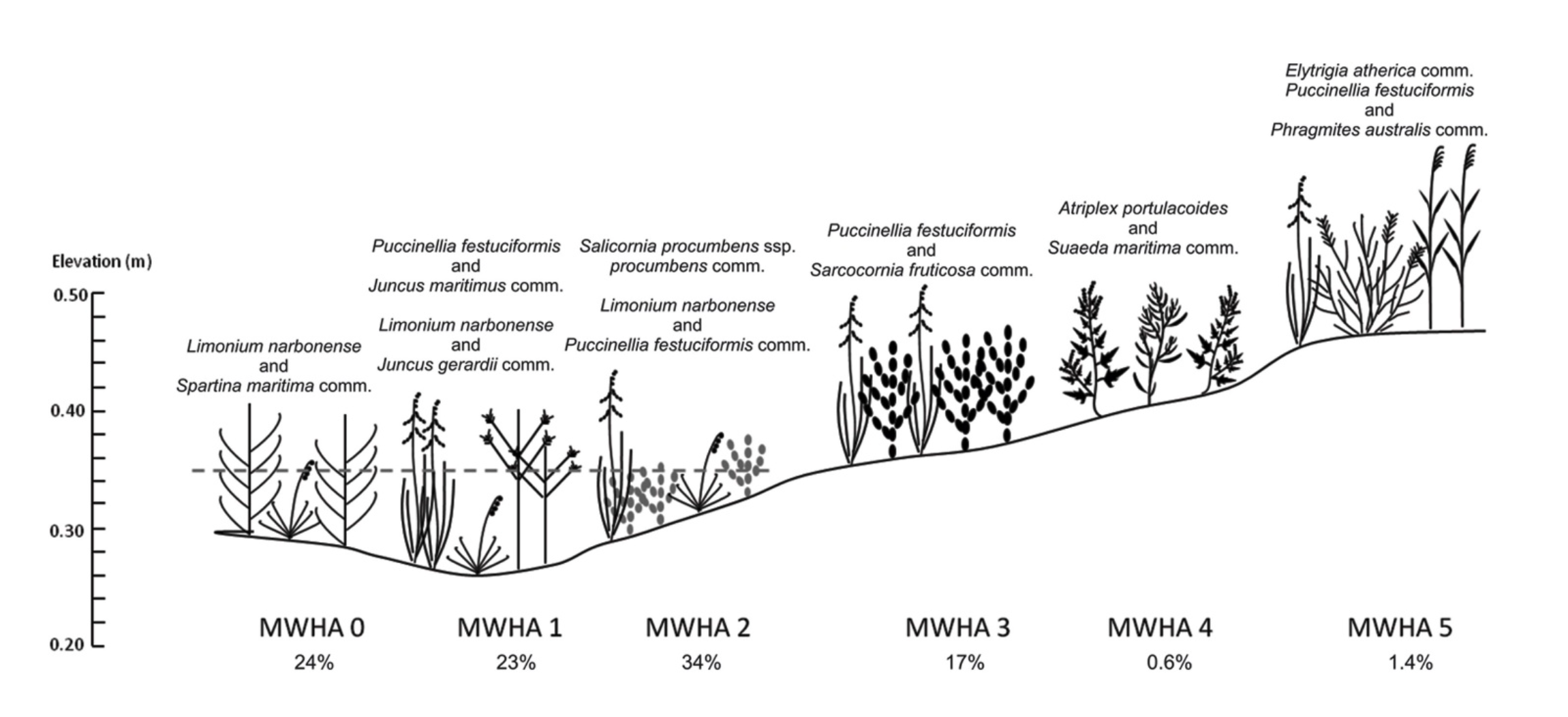
Low-lying and pioneer areas (MWHA 0, 1, 2) (Fig. 9) Destined for drastic reduction. The northern sector risks total disappearance by 2075, while the south could only survive in optimistic climate scenarios.
Sarcocornia shrublands (MWHA 3) (Fig. 9): General decline, with possible localized expansion in the south in intermediate scenarios.
Highlands and reed beds (MWHA 4, 5) (Fig. 9): These are the most stable, with reed beds (Phragmites) remaining the most resilient habitat, despite suffering in the north in extreme scenarios (Ivajnšič et al., 2018).
Footnotes:
Ivajnšič, Danijel, et al. "The fate of coastal habitats in the Venice Lagoon from the sea level rise perspective." Applied Geography 98 (2018): 34-42.
Lõhmus, Kertu, Thorsten Balke, and Michael Kleyer. "Spatial and temporal patterns of initial plant establishment in salt marsh communities." Journal of Vegetation Science 31.6 (2020): 1122-1132.
Tozzi, Francesco Pio, et al. "Vegetation Dynamics on a Restored salt Marsh Mosaic: a Re-Visitation Study in a Coastal Wetland in Central Italy." Wetlands 42.8 (2022): 101.
◾